
Newburgh Neighbors in Public Block Records
Looking up Newburgh neighbors begins with a limited set of public records, each with a different purpose. GIS makes parcel geometry visible. The City assessment roll or PROS records a dated owner and address role. IQS can lead to recorded transfer parties. City boards and public initiatives show civic activity, not private membership. These sources can describe the block around a parcel without converting all nearby people into a household list.
| Source | What it shows about a block | Access |
|---|---|---|
| Orange County GIS | Parcel polygons, PIN, owner and address attributes, roads, and map layers | Public viewer; map geometry is not title proof |
| City assessment roll or PROS | Dated owner, mailing and situs fields, class, value, and deed reference | City portal or dated roll; county current-feed exclusion applies |
| Orange County IQS | Recorded transfer parties and instruments | Name or book-page search; account, image, and copy limits apply |
| Boards and commissions | Public civic roles, meeting records, and application routes | City pages and agendas; no private membership roster |
| Directories and local history | Historical street occupants and household clues | Newburgh Free Library and Historical Society, often in person |
Owners, mailing recipients, grantors, grantees, and historical directory entries are role-labeled clues. They may connect to a Newburgh block, yet none alone proves current occupancy or every person at an address.
Map a Newburgh Block by Parcel
The county map viewer is the best starting place for the immediate Newburgh block. Search the address or PIN, zoom until parcel lines are clear, and click the target polygon. Record the PIN, printed address, owner field, map layer, and access date. Then pan along both sides of the street, including the corners, and click the polygons that visibly touch or sit nearby at the same map scale.
- Locate the target address or PIN in the Orange County GIS Map Viewer and confirm that it is in the City of Newburgh.
- Click the target parcel and preserve its PIN, address, owner attribute, and the visible layer name.
- Click touching parcels and nearby lots on both sides of the street, marking corner or through parcels separately.
- Confirm an owner or title question with the city roll and the underlying deed rather than with the map alone.
A view of the GIS search help shows that owner, address, parcel, municipality, and partial-string searches can lead into this process.
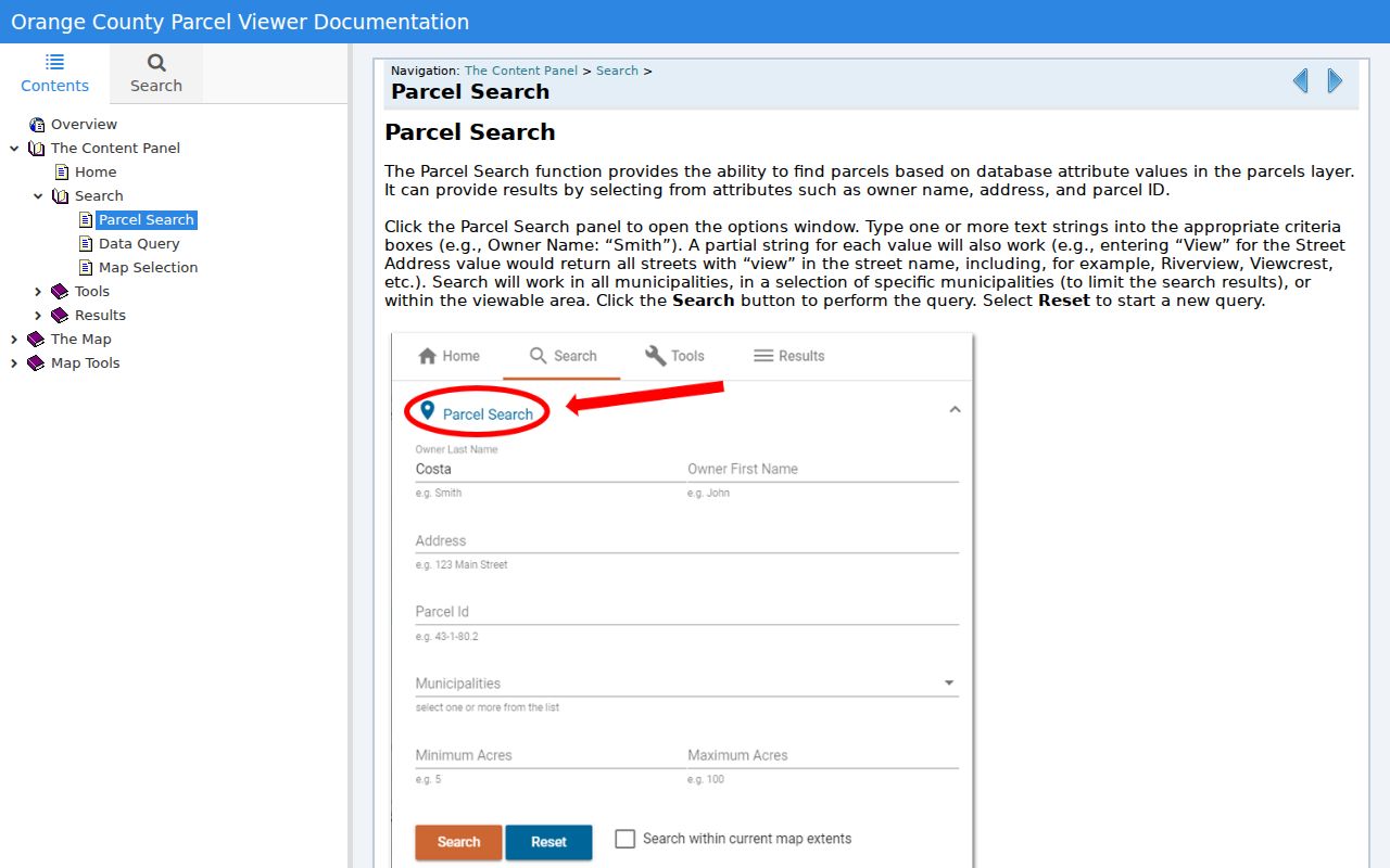
GIS is a spatial index. It can show the relationship of parcels on a Newburgh block, but it does not confirm a legal boundary, current title, or the identities of people inside a building.
Newburgh Neighbor Parcel Roles
The City Assessor directs property research to the city’s PROS system and dated assessment rolls. A parcel entry can include a situs address, owner, mailing address, former-address text, property class, exemption status, parcel or print key, school district, deed book and page, and assessment values. Those fields are valuable for a block comparison when each one stays attached to its roll year and printed role.
The City Assessor page is the city-specific route because the county public assessment feed warns that it excludes current City of Newburgh records.
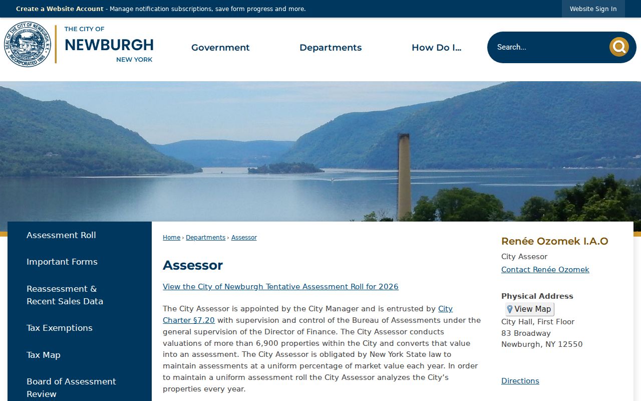
Assessment records and deeds answer different questions. The assessment record is a dated tax-administration record. A recorded instrument can identify grantor, grantee, legal description, and recording date, but neither record lists every occupant of the parcel.
| Official block trail | Commercial neighbor tools |
|---|---|
| Shows the source, date, role, parcel, and access limits for a specific Newburgh result. | May combine public filings, address history, and purchased data with varying update and matching practices. |
| Requires a map, roll, deed, or custodian check for each claim. | Can be a starting clue, but it is not official verification and should not replace the custodian record. |
Newburgh Civic Records for a Block
Newburgh has a public civic layer that can add context to a block without implying that every nearby household belongs to an organization. The city’s boards and commissions page lists public bodies, meeting routes, and applications. Minutes and agendas can identify dated official roles connected to planning, preservation, conservation, ward work, or police-community review. The inspected sources did not locate a comprehensive private neighborhood-association directory or member roster.
| Public Newburgh body | Block-research use |
|---|---|
| Planning Board | Public land-use submissions, agendas, and decisions tied to a place or project. |
| Architectural Review Commission | Historic and architectural district review context. |
| Conservation Advisory Council | Public environmental and feature-inventory work. |
| Citizens Advisory Committee | Ward and district context in public civic materials. |
| Police Community Relations and Review Board | Public board activity, not a resident or block-watch roster. |
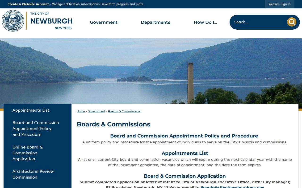
The City of Newburgh boards and commissions page is the official starting point for this public civic layer.
Love Your Block 2026 also supports community, faith, and block associations through a public beautification initiative. That public program identifies a community route, not a list of private members or address-based affiliations.
The city’s board application route sends materials to the City Manager at 83 Broadway or to Boards@cityofnewburgh-ny.gov. A public agenda, application, or meeting minute can be cited for its date and public role. It should not be used to infer that a neighboring parcel owner, a household, or a person named in a public record belongs to the organization.
Newburgh Block Planning Layers
Map layers can explain why nearby parcels share a planning or historic context. Official city material distinguishes the East End Historic District, Montgomery-Grand-Liberty Street Historic District, Hillside BOA, waterfront, Broadway corridor, Downing Park, and the Heights. These are different historic, planning, landmark, and descriptive layers. They should not be treated as exact neighborhood membership lines.
The Hillside study describes a 147.7-acre center-waterfront area and historic-district overlap, while Downing Park at Carpenter Avenue and 3rd Street is a useful map anchor. Keep the source map, layer date, and purpose with any Newburgh block note. An overlay can give context for permits or public planning records, but it cannot establish who belongs to an association or who resides next door.
Newburgh Neighbor Voter Limits
The official New York voter lookup requires county, name, date of birth, and ZIP. It does not provide an unrestricted street browse for Newburgh neighbors. A full voter-file request must state an elections purpose under Election Law §3-103. Confidential registrations, signatures, identification information, full dates of birth, and protected addresses remain outside public block research.
Election maps can describe City of Newburgh wards and districts, but an election district is not proof of a household. Keep the map’s election year and print date. Registration or polling information should never be turned into a ballot-choice claim, because ballot choice is secret.
Note: A voter lookup mismatch may reflect a move, a name variation, maintenance status, or protected registration, rather than a conclusion about a Newburgh address.
Newburgh Corner Parcel Checks
Corner lots and through parcels need a closer look before they are called adjacent. A parcel may touch another lot behind a building, cross a side street, or face a different roadway. The map must show contact at the scale used. Record the street segment and parcel geometry instead of calling every nearby address a direct neighbor.
When the address changes between sources, preserve directional prefixes, suffixes, units, ZIP, City or Town of Newburgh designation, and former-address text. No official source inspected here confirmed a city-wide renumbering or annexation year. A comparison of filed maps, deed legal descriptions, directory entries, and the roll’s “fka” text can bridge a lead, but an unproven connection should remain marked as unverified.
Newburgh parcel research also benefits from a two-column chronology: one column for the record event, such as a roll date, deed recording, map filing, or permit, and one for the printed person or address role. That simple separation prevents a Newburgh owner name, grantee, or mailing recipient from being silently recast as a current neighbor.
Newburgh Neighbor Lookup Privacy
A block map does not open private household facts. Renters or other occupants not listed as owners, utility and delivery information, protected voters, Address Confidentiality Program participants, DMV addresses, and nonpublic court or vital information are not part of a Newburgh neighbor lookup. The New York Address Confidentiality Program protects an eligible participant’s actual address through a substitute-address route.
Lawful use. Use Newburgh block records for personal, lawful research and civic context. Do not use an address or parcel result to watch, stalk, harass, or intimidate any person.
Newburgh Records Requests by Address
When an online map or roll is not enough, a precise request is more useful than a broad search for neighbors. A City of Newburgh Building FOIL request can identify the property address, parcel or PIN, date range, and the files sought, such as permits, inspections, violations, certificates, or fire and renovation records. No public address-searchable city permit database was located, so the request route is the documented fallback.
The City FOIL page routes city requests through the Clerk. For a deed or recorded instrument, use the Orange County Clerk Record Room or IQS with a known party or book and page. The full named-street record sequence is covered by the Newburgh street directory when the question extends beyond the immediate block.
A useful request log keeps the Newburgh address, city or town designation, parcel or PIN, map layer, record type, date range, request date, acknowledgment, fee estimate, and response status. If the City Clerk or another custodian says the request belongs elsewhere, record that referral rather than treating the first office’s response as a missing-record conclusion.
Orange County copy requests are different from a city FOIL request. The County Clerk form asks for document type, book and page, party names, property address, quantity, and a plain or certified copy choice. When the needed instrument is known, that focused route is more likely to produce the relevant deed or mortgage record than a broad request about a Newburgh block.